Stunningly realistic 3-D mapping technology is coming out of C3 Technologies – a company using multiple cameras on airplanes coupled with missile-targeting tech to provide users with incredibly realistic maps which include pixel-depth mapping allowing you to know exactly how high in the air any area of the map happens to be. The technology is more cost-effective than laser-based LIDAR and is said to need manual intervention 2% of the time.
Another benefit is it produces 3-D maps which are are 360 degree explorable. Check it out – it is pretty amazing.
Obviously, this accuracy is greater than what is needed for GPS and it is slow to render – even on a powerful machine but certainly, the clearer the picture, the better. Keep a watch out for new augmented-reality applications which could certainly benefit from the increased clarity of the map images C3 has produced here.
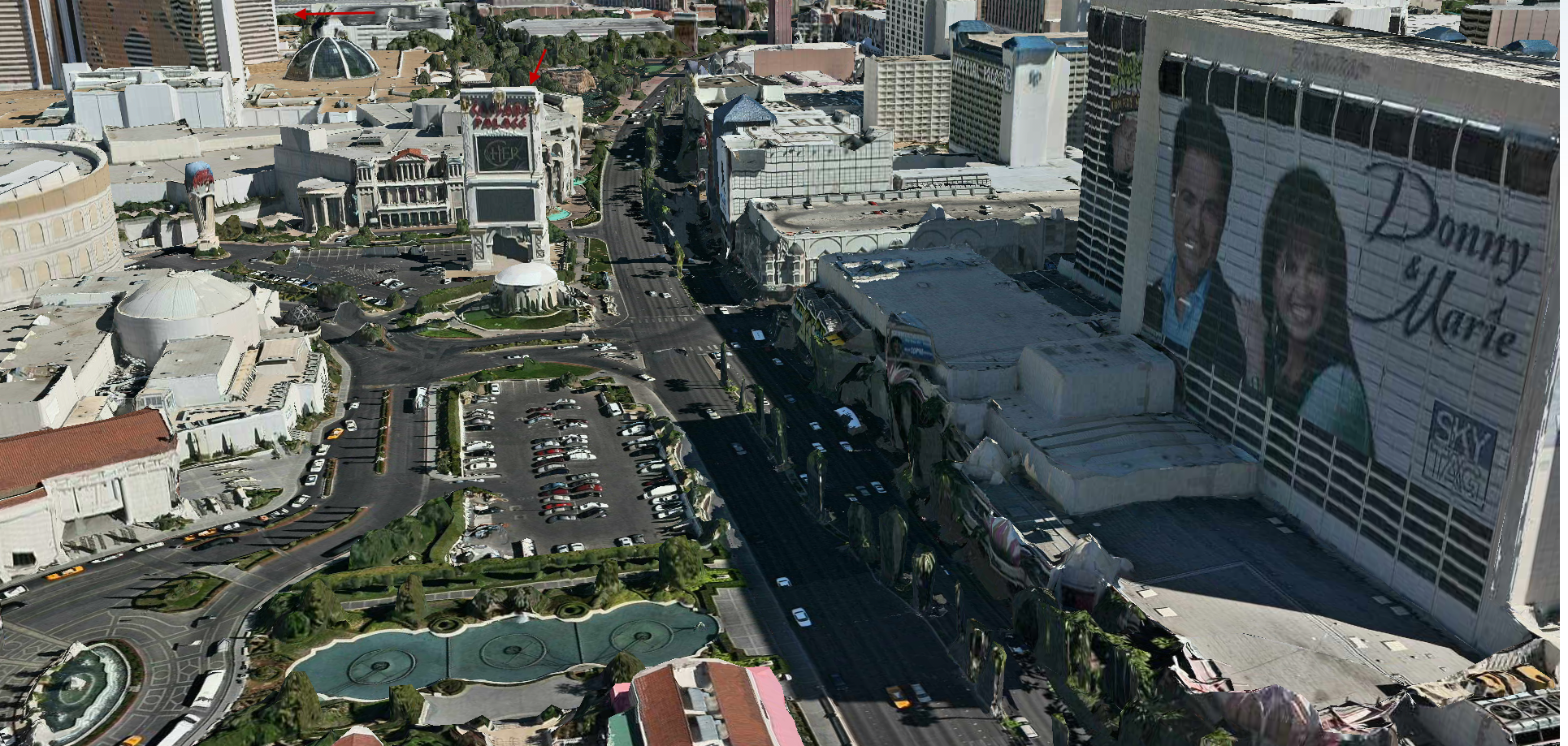
Check out the Vegas strip where you can see the Mirage and Ceasar’s Palace (click to enlarge)